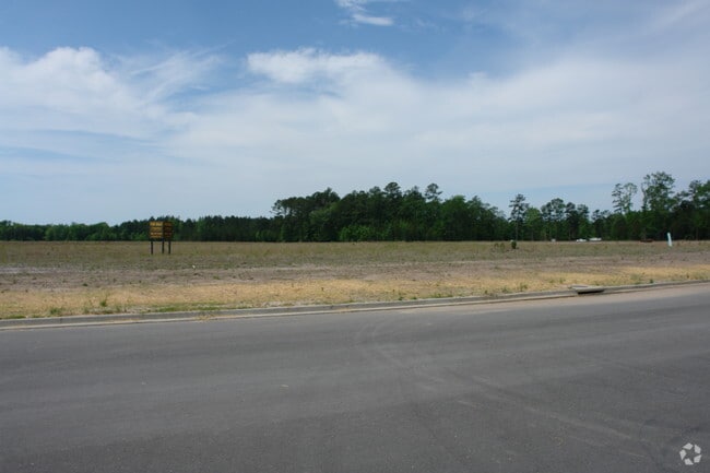
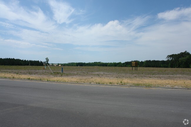
Property Record
100 W Mulberry Ave, Port Wentworth, GA 31407
NEARBY LISTINGS FOR SALE OR LEASE
Property Detail
100 W Mulberry Ave
7090604026
Westside Misc
Publicschool
PT OF TRACT B HOPE PLANTATION 2 9.68 AC
AE
Chatham
45053C0475D
Georgia
0
29.68 AC
2025
Port Wentworth
010702
Savannah
100 SF
Savannah, GA
DEMOGRAPHICS near 100 W Mulberry Ave
1 Mile
3 Mile
5 Mile
2024 Total Population
4,030
11,967
38,228
2029 Population
4,296
13,035
42,176
Pop Growth 2024-2029
+ 6.60%
+ 8.92%
+ 10.33%
Average Age
34
35
36
2024 Total Households
1,611
4,378
13,737
HH Growth 2024-2029
+ 7.14%
+ 9.59%
+ 10.74%
Median Household Inc
$76,091
$80,977
$83,493
Avg Household Size
2.50
2.60
2.60
2024 Avg HH Vehicles
2.00
2.00
2.00
Median Home Value
$162,335
$177,296
$224,992
Median Year Built
2010
2009
2007
Nearby Places
- Restaurants
- Banks
- Shops
- Fitness
- Groceries
PUBLIC TRANSPORTATION
AIRPORT
Savannah/Hilton Head International
DRIVE
WALK
Distance
Savannah/Hilton Head International
20 min
10.4 mi
Hilton Head
DRIVE
WALK
Distance
Hilton Head
52 min
39.1 mi
Freight Ports
Georgia Ports - Savannah
DRIVE
WALK
Distance
Georgia Ports - Savannah
16 min
8.8 mi
Nearby Properties
Address
Land Use
TOTAL SIZE
Lot Size
Zoning
Address
Land Use
TOTAL SIZE
Lot Size
Zoning
1,275,180 SF
0.02 AC
Address
Land Use
TOTAL SIZE
Lot Size
Zoning
1,164,800 SF
86.22 AC
Address
Land Use
TOTAL SIZE
Lot Size
Zoning
1,500,400 SF
207.84 AC
PD
Address
Land Use
TOTAL SIZE
Lot Size
Zoning
1,099,220 SF
206.18 AC
I-H
Address
Land Use
TOTAL SIZE
Lot Size
Zoning
1,003,267 SF
64.07 AC
I-H
Address
Land Use
TOTAL SIZE
Lot Size
Zoning
981,943 SF
69.54 AC
I-H
Address
Land Use
TOTAL SIZE
Lot Size
Zoning
1,210,040 SF
93.21 AC
PD
Address
Land Use
TOTAL SIZE
Lot Size
Zoning
1,164,800 SF
73.57 AC
PD
Address
Land Use
TOTAL SIZE
Lot Size
Zoning
1,114,920 SF
99.31 AC
I-1
Address
Land Use
TOTAL SIZE
Lot Size
Zoning
832,000 SF
59.75 AC
I-H
Address
Land Use
TOTAL SIZE
Lot Size
Zoning
1,067,040 SF
77.66 AC
PD
Address
Land Use
TOTAL SIZE
Lot Size
Zoning
1,026,000 SF
74.86 AC
I-1
Address
Land Use
TOTAL SIZE
Lot Size
Zoning
737,500 SF
49.38 AC
I-1
Address
Land Use
TOTAL SIZE
Lot Size
Zoning
Address
Land Use
TOTAL SIZE
Lot Size
Zoning
28,128 SF
31.61 AC
RA
Address
Land Use
TOTAL SIZE
Lot Size
Zoning
752,000 SF
51.18 AC
Address
Land Use
TOTAL SIZE
Lot Size
Zoning
27,420 SF
34.55 AC
R1
Address
Land Use
TOTAL SIZE
Lot Size
Zoning
777,150 SF
92.46 AC
PD
Address
Land Use
TOTAL SIZE
Lot Size
Zoning
579,000 SF
33.93 AC
I-H
Address
Land Use
TOTAL SIZE
Lot Size
Zoning
475,000 SF
35.73 AC
I-H
Address
Land Use
TOTAL SIZE
Lot Size
Zoning
1,150 SF
23.19 AC
RA
Address
Land Use
TOTAL SIZE
Lot Size
Zoning
420,650 SF
38.65 AC
Address
Land Use
TOTAL SIZE
Lot Size
Zoning
27,072 SF
16.55 AC
PRM
Address
Land Use
TOTAL SIZE
Lot Size
Zoning
4,672 SF
29.91 AC
R-3
Address
Land Use
TOTAL SIZE
Lot Size
Zoning
391,040 SF
35.39 AC
Address
Land Use
TOTAL SIZE
Lot Size
Zoning
21,120 SF
14 AC
PC3
Address
Land Use
TOTAL SIZE
Lot Size
Zoning
416,000 SF
56.60 AC
PD
Address
Land Use
TOTAL SIZE
Lot Size
Zoning
360,000 SF
32.09 AC
I-H
Address
Land Use
TOTAL SIZE
Lot Size
Zoning
442,000 SF
45.41 AC
I-1
The World's #1 Commercial Real Estate Marketplace
Connect with us
© 2025 CoStar Group
The information above has been obtained from sources believed reliable. While we do not doubt its accuracy we have not verified it and make no guarantee, warranty or representation about it. It is your responsibility to independently confirm its accuracy and completeness. Any projections, opinions, assumptions, or estimates used are for example only and do not represent the current or future performance of the property. The value of this transaction to you depends on tax and other factors which should be evaluated by your tax, financial, and legal advisors. You and your advisors should conduct a careful, independent investigation of the property to determine to your satisfaction the suitability of the property for your needs.